Central Development
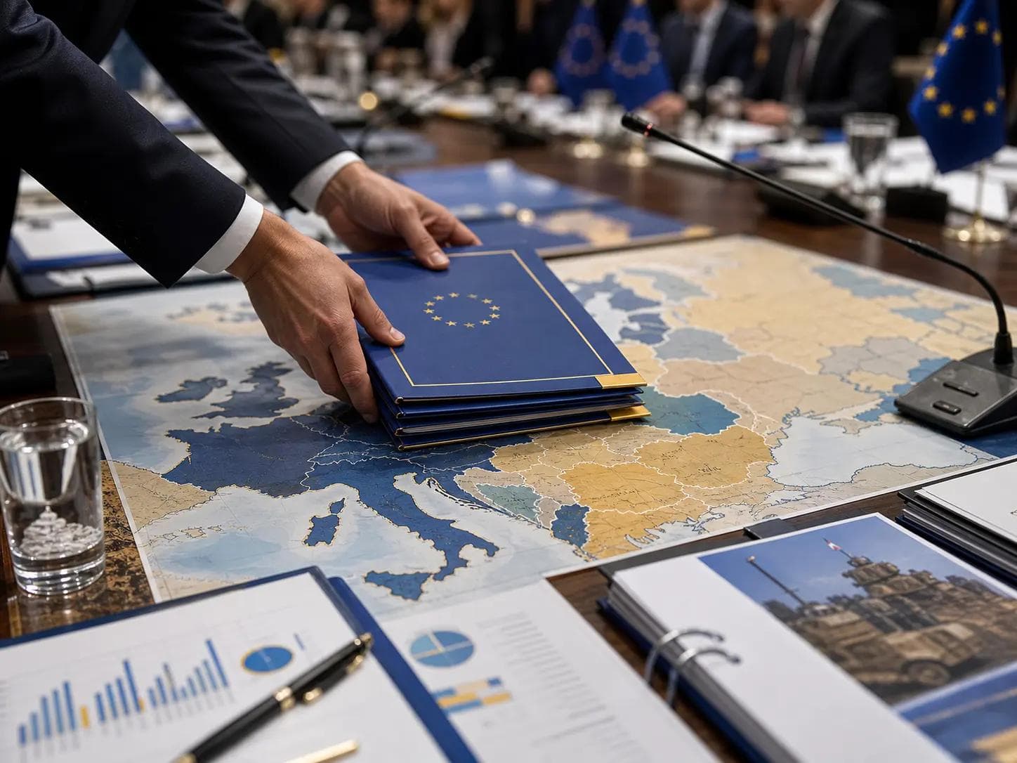
The European Commission set out the Greater North Sea Basin Initiative on July 23, framing it as a shift from separate national maritime plans toward coordinated sea-basin planning across northern European waters, according to the European Commission. The initiative is supported by the European Maritime, Fisheries and Aquaculture Fund and is designed to strengthen cross-border cooperation among North Sea countries while extending planning links toward the Baltic Sea, the European Commission said.
Why It Matters
Maritime spatial planning has become a higher-stakes policy tool as governments balance offshore energy, fisheries, shipping, conservation and coastal adaptation. The Commission’s announcement places climate change and biodiversity loss at the center of the planning effort, with ecosystem-based management presented as the organizing principle for decisions that cross national sea borders, according to the European Commission. For the EU, this matters because the Commission can use funding, coordination forums and implementation oversight to shape how member states align environmental and economic uses of shared waters.
Perspective
The clearest supported development is institutional rather than regulatory: the Commission is promoting a coordination framework, not announcing specific restrictions, project approvals or binding national targets in the cited material. The evidence base for this cluster is concentrated in the Commission’s own announcement, so the policy direction is clear, while the practical effects will depend on whether participating governments translate the sea-basin model into national plans, permitting processes and conservation measures.
What to Watch
Whether North Sea and Baltic Sea governments publish joint planning milestones or shared mapping tools.
- How the European Maritime, Fisheries and Aquaculture Fund is allocated to the initiative.
- Whether future documents specify measures for offshore energy, fisheries, shipping lanes or biodiversity protection.